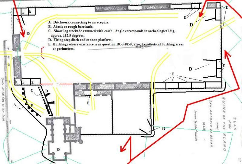
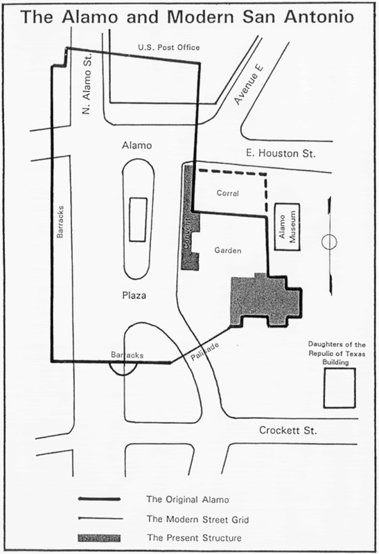
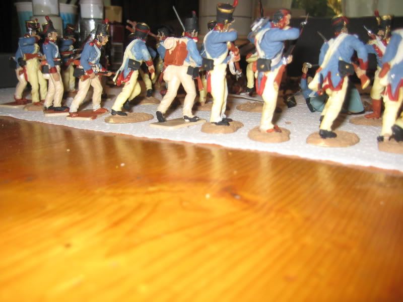
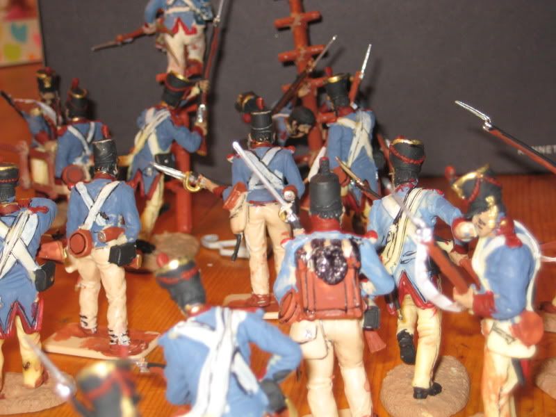
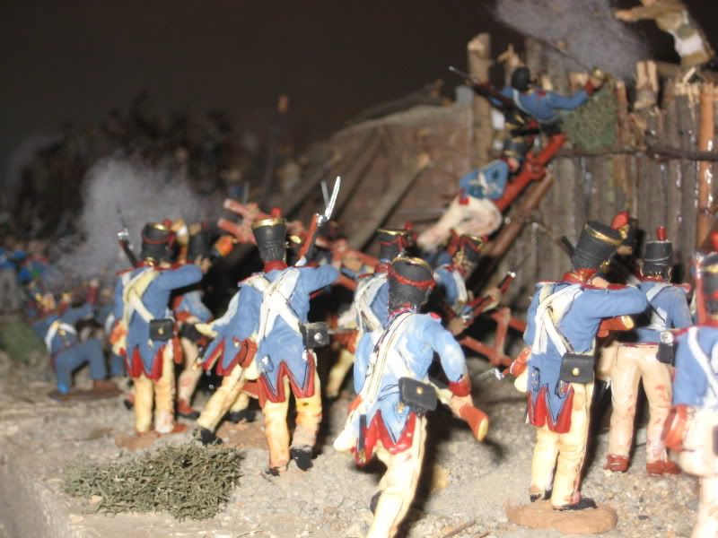
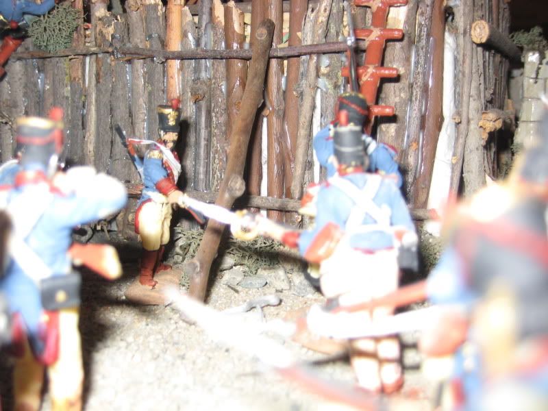
One of my working maps for the model, based on one of the most reliable plats, by Capt. Edward Everett (1848 or 49, despite the date on the map). He omitted all of the wooden and adobe structures that remained; most of the single walls and defensive works were gone by this time (the battle was in 1836).
The yellow lines are the pathways most likely used in the fort, which "enter" at the main gateway (to the left, or south) and the eastern (bottom) and western posterns. These pathways are important in reconstructing the movement of troops during the battle, both for the Mexican assault and the Texans falling back into the larger buildings on the eastern end.
But the movements of the attacking troops are also dictated by the green lines, which are some of the artillery kill zones. The columns were ordered to attack to get close up under the walls before the cannons could be fired; but the surprise was foiled when the attackers couldnt contain their excitement and started shouting
Vivas.
The big red lines show the entry points of the assault force, the largest incursion on the north with about a thousand men. The entry on the southwest was only about 100.
The long west wall along the top of the map was approximately 525 feet long. The buildings marked "E" are pretty much a mystery; we know they were there in the peaceful time before the war and gone after the battle. To accommodate the unknown status, I put them into the model in a ruinous condition, or missing rooms, etc. They were almost all either adobe or wooden construction.
It is interesting to note that most of these ambiguous buildings are at the sites of the cannon ramps, which were made of dirt, rubble, and incorporated ruined arcades. After the battle, the occupying commander, Andrade, was ordered to demolish all of the fortifications.


